
Explore Beautiful Hill Stations in India
India is home to some of the most beautiful hill stations in the world, offering breathtaking mountain views, pleasant weather, lush green forests, waterfalls, and peaceful surroundings. From the snow-covered Himalayas to the scenic Western Ghats, the country has countless hill stations that are perfect for family vacations, honeymoon trips, adventure holidays, and nature getaways. Popular destinations such as Shimla, Manali, Darjeeling, Ooty, Munnar, Coorg, Nainital, Mussoorie, and Mahabaleshwar attract millions of visitors every year. Whether you enjoy trekking, camping, boating, sightseeing, ropeway rides, or simply relaxing in nature, Indias hill stations provide unforgettable travel experiences throughout the year.
Browse hill stations by state and district to discover complete travel information, including the best time to visit, entry fees (if applicable), opening hours, major attractions, time required to explore, nearby tourist places, local food, and useful travel tips. FunYatra regularly updates its travel guides to help travellers plan comfortable, enjoyable, and memorable hill station holidays across India.
Horsley Hills
📍 Madanapalle • Annamayya • Andhra Pradesh
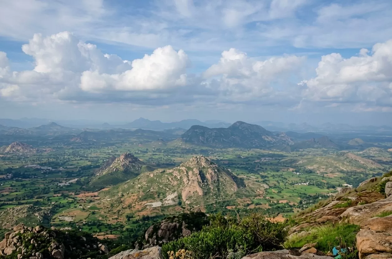
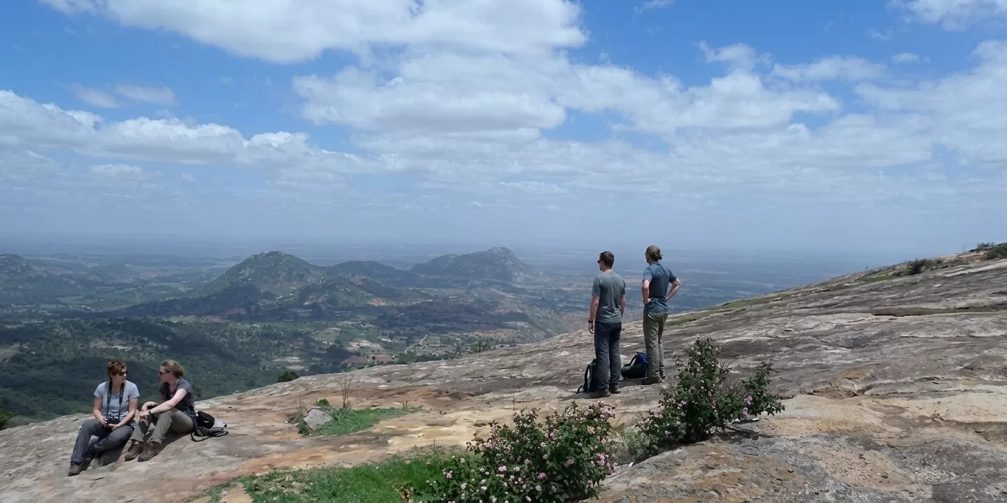
Horsley Hills is one very beautiful hill station located is in tha Andhra Pradesh’s Annamayya district. Many people are calling it the "Ooty of the Andhra Pradesh" only, and it stands at a height of some 1,265 meters. It was named after one British Collector, W.D. Horsley. This scenic destination is very famous for its pleasant climate, lush forests, and those giant eucalyptus trees. Especially if you want to escape the heat of the plains, then it is the perfect getaway. Nature lovers, photographers, and families are frequently visiting for relaxation and adventure activities. If you are planning a trip, please let me know. I can revert with the resort details and you can do the needful for booking. The weather is very nice throughout the year, so no need to prepone or postpone your plans.
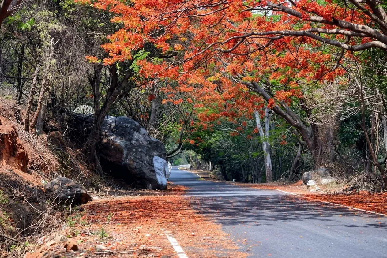
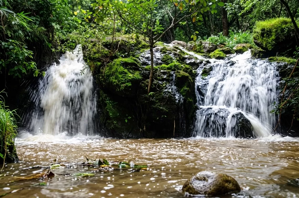
Lambasingi
📍 Lambasingi • Alluri Sitharama Raju • Arunachal Pradesh
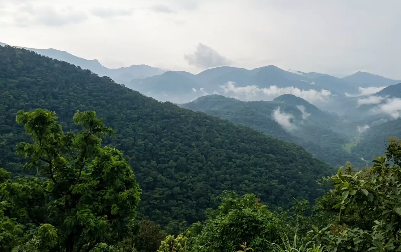
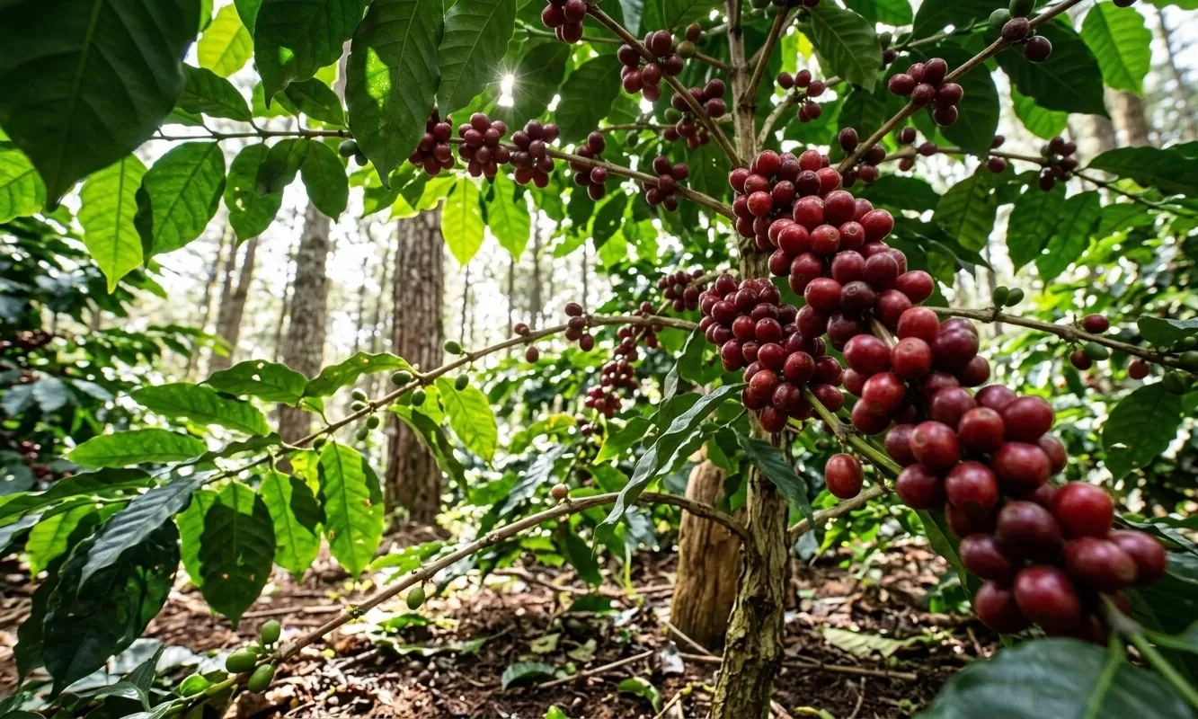
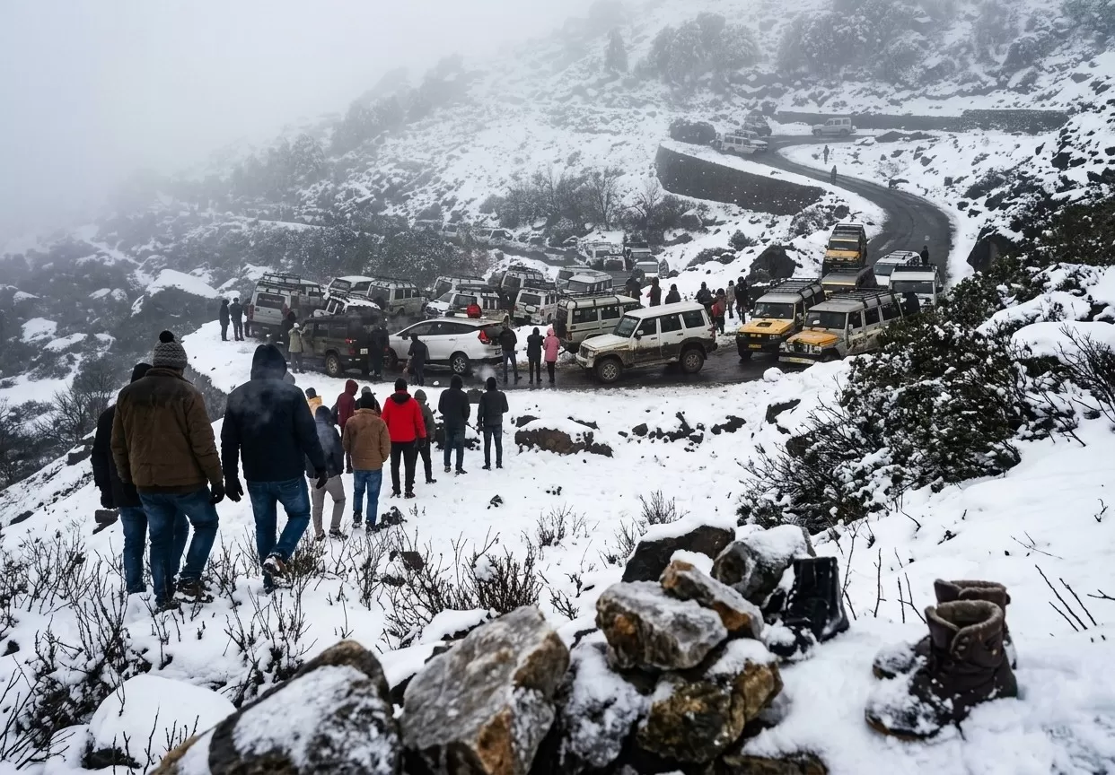
Lambasingi is a beautiful hill village in the Eastern Ghats of Andhra Pradesh. Situated at an altitude of about 1,000 meters above sea level, it is known for its cool weather, dense forests, coffee plantations, and mist-covered valleys. During winter, temperatures sometimes fall close to freezing, making it one of the coldest places in South India. Visitors come here to enjoy sunrise views, nature photography, camping, and peaceful surroundings. Because of its unique climate, Lambasingi is popularly called the “Kashmir of Andhra Pradesh.”
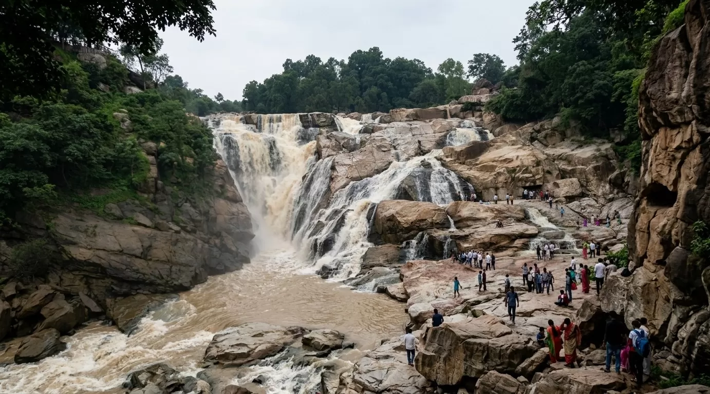
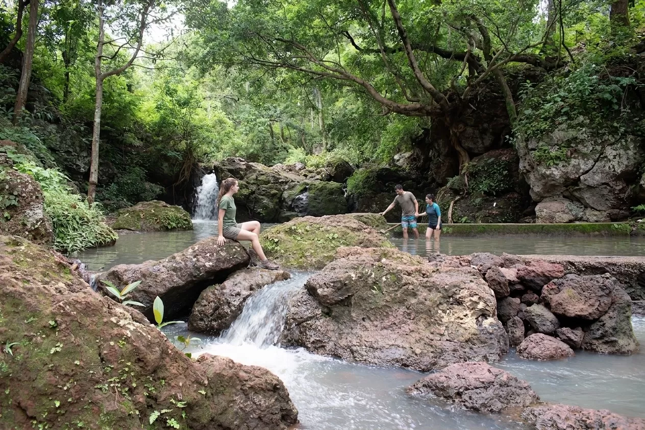
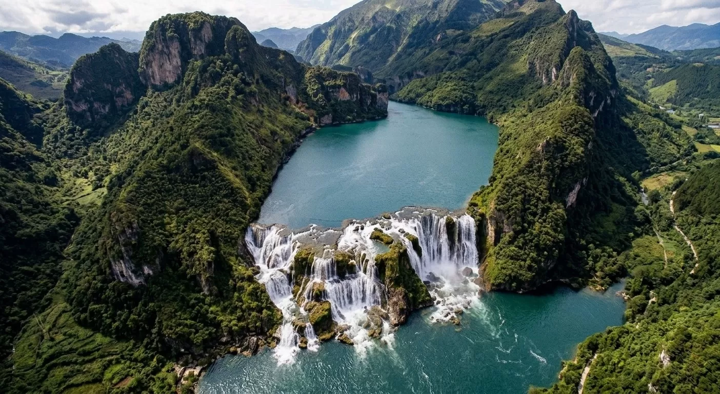
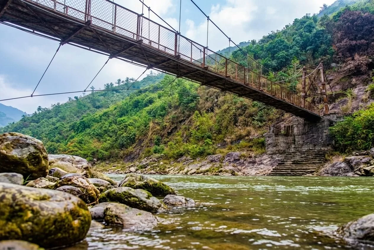
Araku Valley
📍 Araku Valley • Alluri Sitharama Raju • Andhra Pradesh
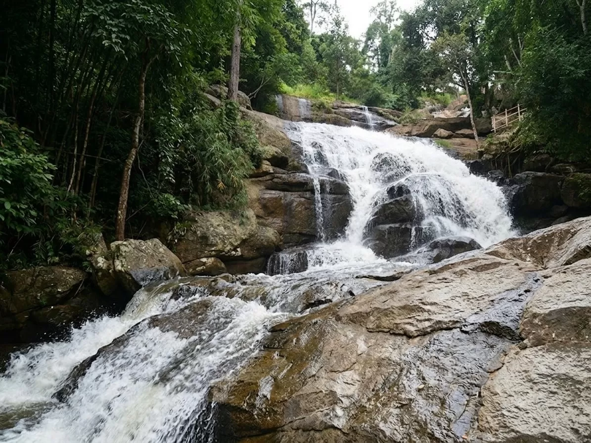
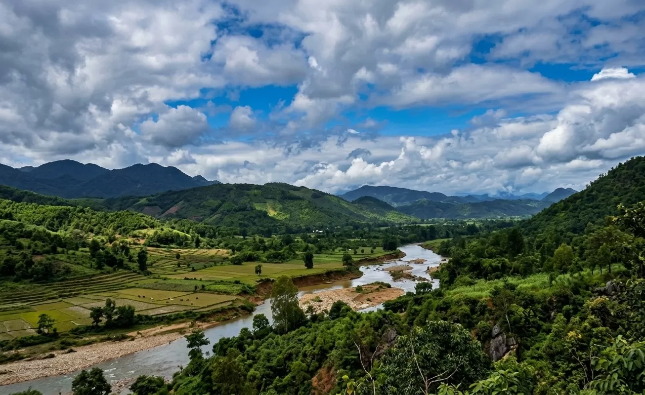
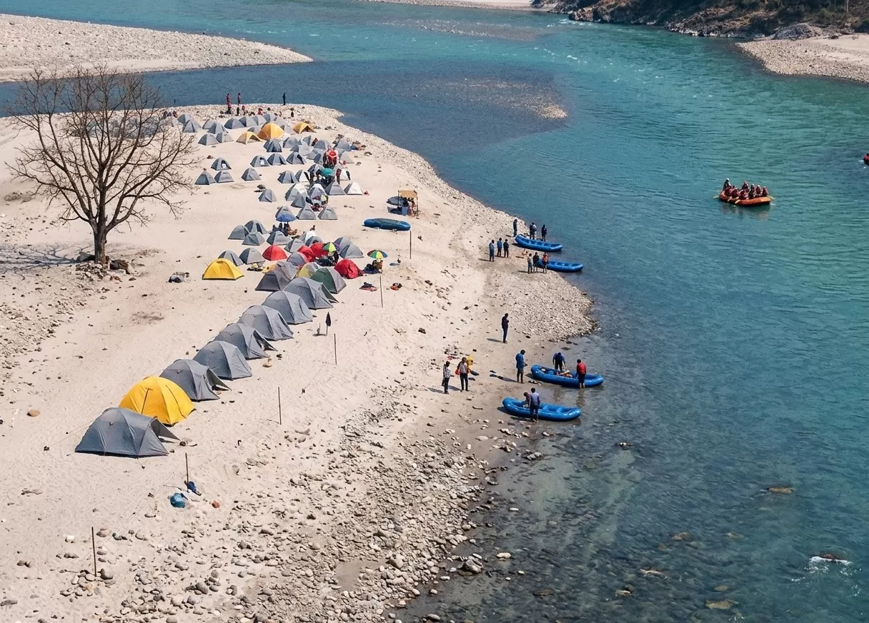
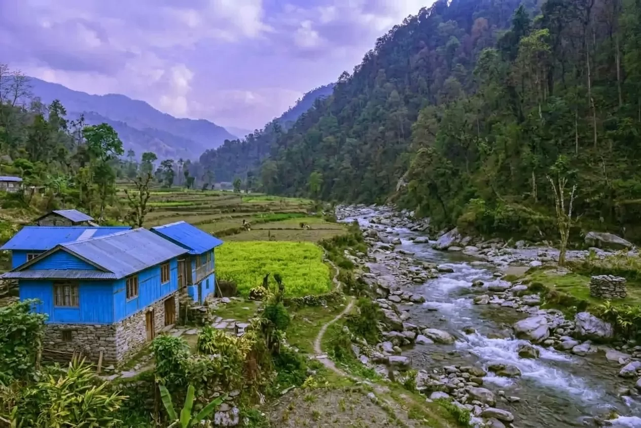
Araku Valley is a beautiful hill station of Eastern Ghats of Andhra Pradesh, India. Surrounded by lush green forests, coffee plantations, waterfalls, and tribal villages, it is one of the most scenic destinations in South India. The valley is known for its pleasant climate, breathtaking landscapes, and rich tribal culture. The train journey from Visakhapatnam to Araku passes through numerous tunnels and bridges, offering spectacular views. Nature lovers, adventure seekers, and photographers visit Araku Valley throughout the year to experience its serene beauty and peaceful atmosphere.
Daringbadi
📍 Daringbadi • Kandhamal • Odisha
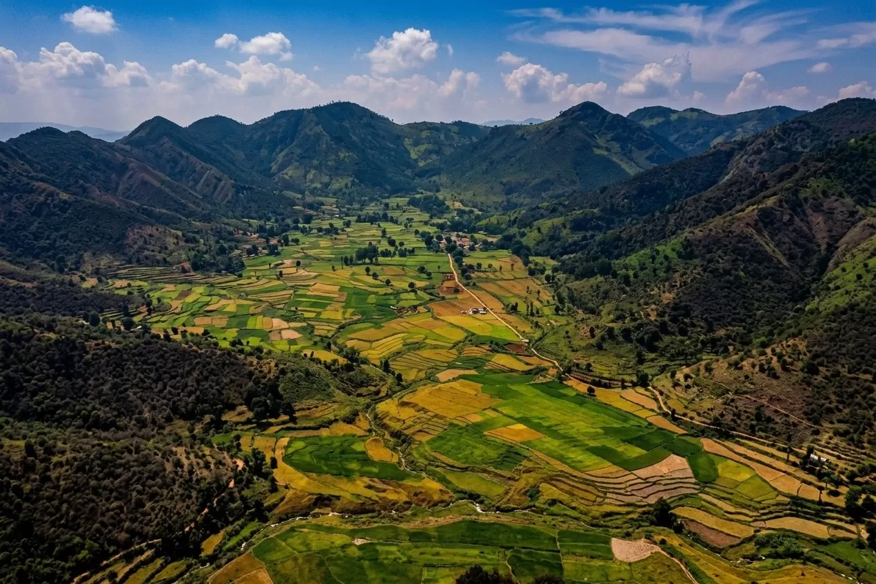
Daringbadi is a beautiful hill station is in Kandhamal district of Odisha, India. Popularly known as the "Kashmir of Odisha," it is famous for its cool climate, pine forests, coffee plantations, waterfalls, and scenic valleys. Situated at an elevation of about 915 meters above sea level, Daringbadi is one of the few places in Odisha where frost can be seen during winter. The destination offers a perfect blend of natural beauty, tribal culture, and peaceful surroundings, making it an ideal getaway for nature lovers, photographers, and adventure enthusiasts
Netarhat is Popularly known as the "Queen of Chotanagpur," is a beautiful hill station in the Latehar district of Jharkhand. it is famous for its breathtaking sunrise and sunset views, dense forests, pleasant climate, and scenic landscapes. Situated at an elevation of about 1,128 meters above sea level, Netarhat attracts nature lovers, photographers, and adventure enthusiasts. The region offers panoramic viewpoints, waterfalls, and peaceful surroundings, making it an ideal destination for a relaxing getaway amidst nature.
Kalimpong
📍 • Kalimpong • West Bengal
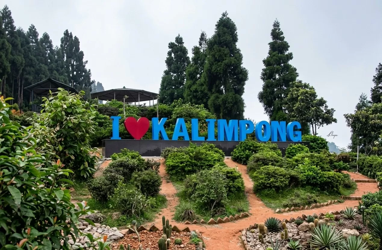
Kalimpong is a beautiful hill station is in the eastern Himalayas of West Bengal, India. Known for its pleasant climate, Buddhist monasteries, colonial architecture, flower nurseries, and panoramic mountain views, it attracts tourists throughout the year. Situated at an altitude of about 1,250 meters, Kalimpong offers stunning views of the Kanchenjunga range and the Teesta Valley. The town is rich in cultural diversity, blending Nepali, Tibetan, Bhutanese, and Bengali traditions, making it a unique destination for nature lovers and cultural explorers.
Darjeeling
📍 • Darjeeling • West Bengal
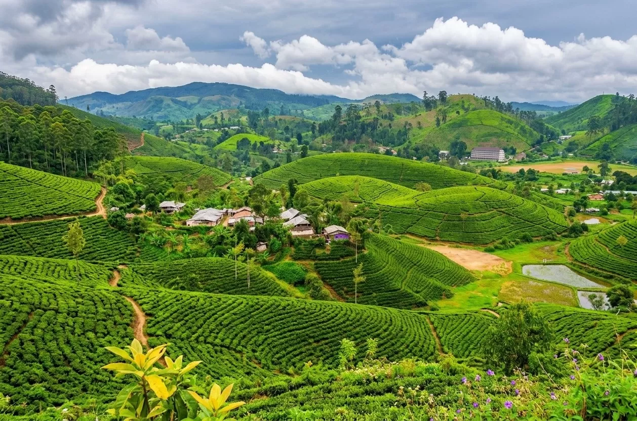
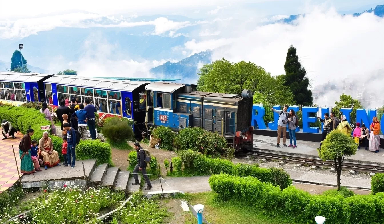
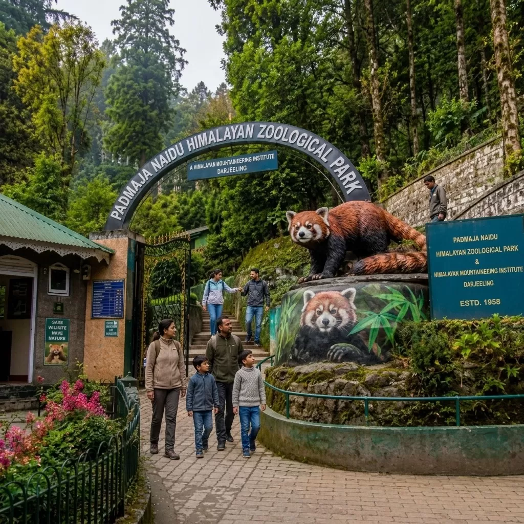
Darjeeling Known as the "Queen of the Hills," Darjeeling is a beautiful hill station in the Himalayan foothills of West Bengal, India. it is famous for its tea gardens, panoramic views of Mount Kanchenjunga, colonial architecture, and the historic Darjeeling Himalayan Railway. The town attracts tourists throughout the year with its cool climate, scenic landscapes, monasteries, and vibrant local culture. Visitors enjoy sunrise views from Tiger Hill, rides on the Toy Train, and walks through lush tea estates that produce world-famous Darjeeling Tea.
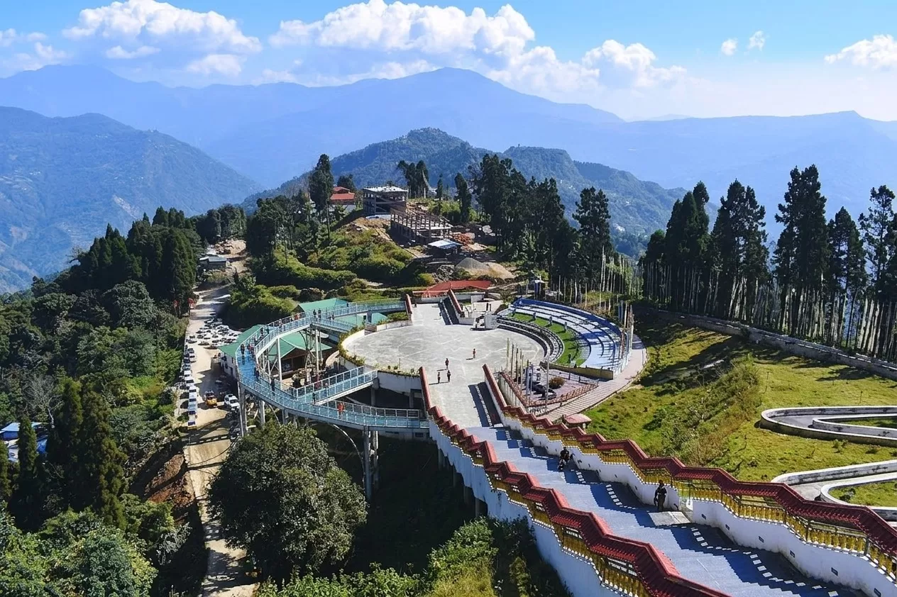
Pelling is a beautiful hill town in western Sikkim, famous for its breathtaking views of Mount Kanchenjunga, peaceful monasteries, waterfalls, and rich cultural heritage. Located at an altitude of about 2,150 meters, it is one of the most popular tourist destinations in Sikkim. Visitors can enjoy nature, adventure, photography, trekking, and spiritual experiences. Attractions such as Pemayangtse Monastery, Rabdentse Ruins, Sky Walk, and Khecheopalri Lake make Pelling an ideal destination for families, couples, and nature lovers seeking tranquility amidst the Himalayas.
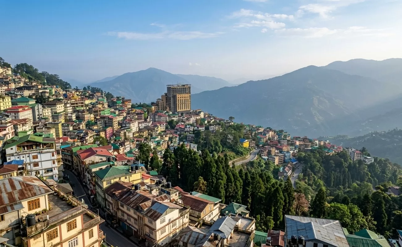
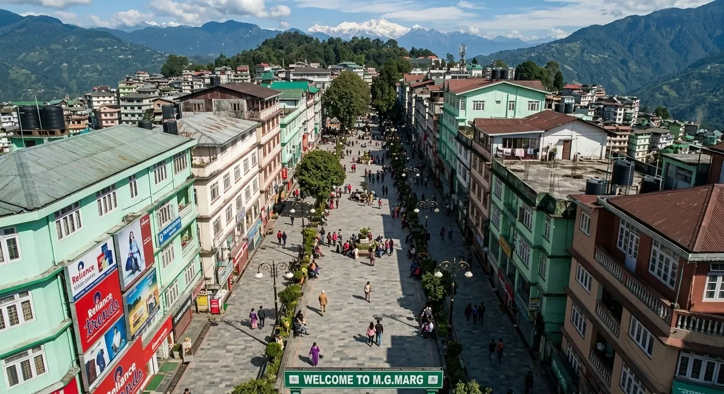
Gangtok is the capital city of Sikkim in northeastern India. Located in the Eastern Himalayas, it is known for its stunning mountain views, Buddhist monasteries, vibrant culture, and pleasant climate. The city offers a perfect blend of modern amenities and traditional heritage. Popular attractions include MG Marg, Rumtek Monastery, Tsomgo Lake, and Nathula Pass. Gangtok is also a gateway to many Himalayan adventures and serves as one of the most popular tourist destinations in Northeast India.
Haflong is the only hill station in Assam and the headquarters of Dima Hasao district. Surrounded by rolling hills, lakes, waterfalls, and lush greenery, it is often called the “Switzerland of Northeast India.” The town is famous for Haflong Lake, Jatinga Bird Observatory, Panimoor Waterfall, and its rich tribal culture. Nature lovers, photographers, birdwatchers, and adventure seekers visit Haflong to enjoy its peaceful atmosphere, scenic landscapes, and trekking opportunities. The pleasant climate and beautiful valleys make it one of the most attractive tourist destinations in Northeast India.